Studies that go deep.
Research, Build with confidence and accuracy.
The GBS Desktop Study and Marine Route Survey approach provides a comprehensive study of well-researched information for marine projects, ocean research, environmental studies, energy infrastructure and Submarine Fiber Optic Cable (SFOC) systems.
Our specialized 4D Modeled Route Simulation technology offers a unique close-up view of your environment- - putting your data into action in a customizable, navigable environment that enables virtual imaging of the subject matter.
Access the U.S. National Science Foundation Abstract and the Public Release Version
"A COMPREHENSIVE DESKTOP STUDY Exploring the Feasibility of a Science Monitoring And Reliable Telecommunications (SMART) Fiber Optic Cable System Connecting ANTARCTICA - AUSTRALIA - NEW ZEALAND."

GEOPHYSICAL SURVEYS
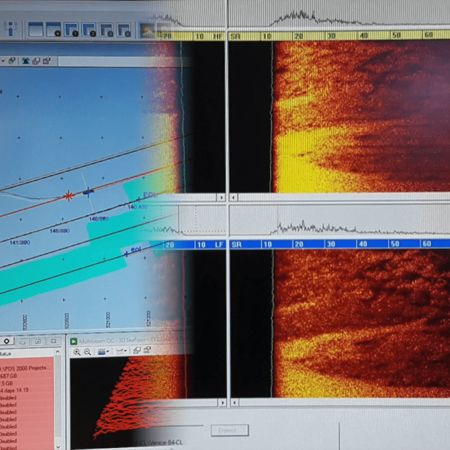
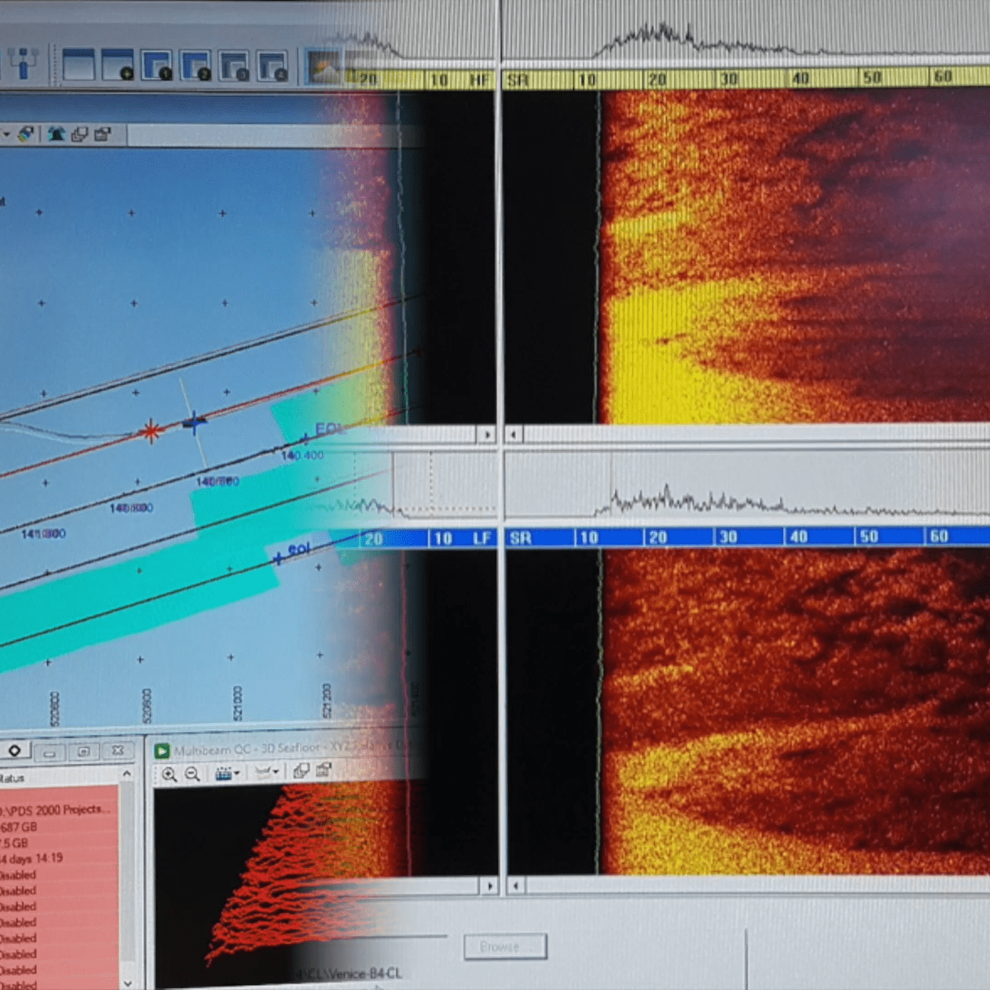
GBS provides near shore and deep-water surveys to generate an end-to-end assessment of your cable design.
- Vessel and SME Selection
- Near Shore Surveys
- Shore Landing Diver Survey
- Landing Site Surveys
- Topographical Survey
- Bathymetry Collection (Side Scan, Multi-Beam, Sub-Bottom Profiling)
- Sub-Surface Sampling
- Geological Interpretation
- 3D Model Route Simulation

GEOTECHNICAL BURIAL ASSESSMENTS
Our seabed evaluations incorporate the latest technology to help you manage risk and provide accurate burial assessment and feasibility.
- Seabed Depth
- Evaluate slope, erosion, seismic profiles, sediment and other seafloor characteristics.
- Cone Penetrometer Testing (CPT): Penetration, Relative Density, Shear Strength
- Interpreted Sediment Lithology
- Geotechnical Coring
- Route Obstacles
- Geotechnical Interpretation/Engineering

END-TO-END ROUTE ENGINEERING
Complete Route Engineering Services, including:
- RPL
- SLD
- Armoring Evaluation & Recommendation
- GIS
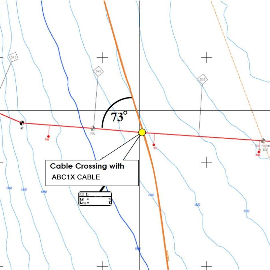
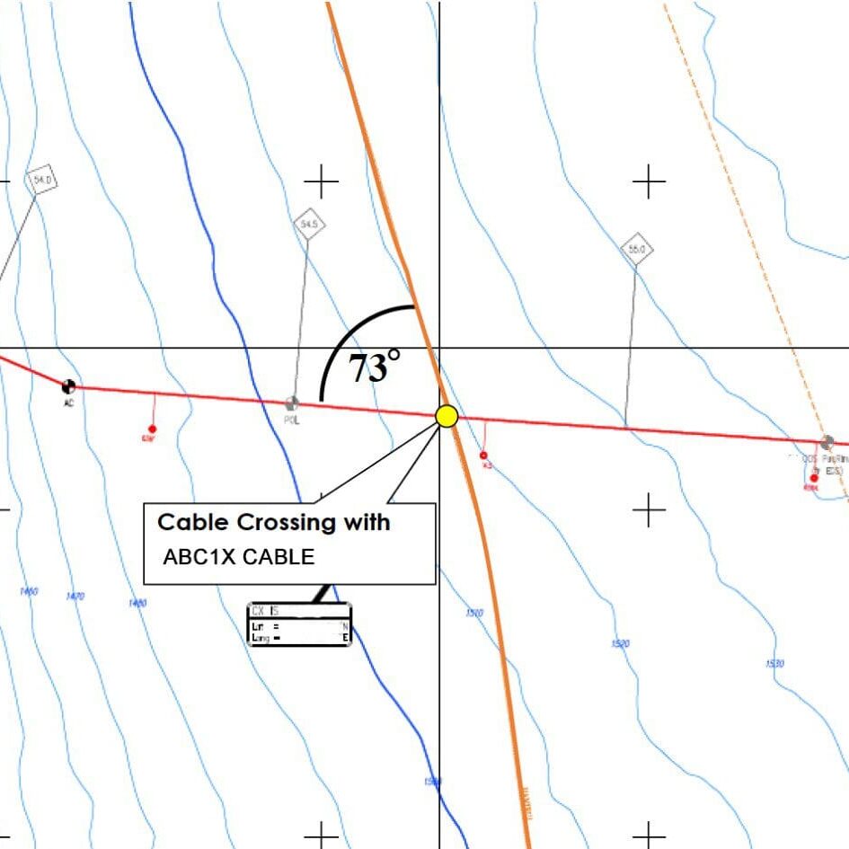
- Cable Crossing Management
- 4D Cable Route Model Simulation Service that brings your cable route to right. This video experience removes the water from the ocean and creates an accurate topographical depiction of the seafloor and surrounding areas. Follow the cable route in 3D from landing to landing. Available for terrestrial routes as well.
END-TO-END ROUTE ENGINEERING
Complete Route Engineering Services, including:
- RPL
- SLD
- Armoring Evaluation & Recommendation
- GIS
- Cable Crossing Management
- 4D Cable Route Model Simulation Service that brings your cable route to life. This video experience removes the water from the ocean and creates an accurate topographical depiction of the seafloor and surrounding areas using your bathymetry. Follow the cable route in 3D from landing to landing. Available for terrestrial routes as well.


Have a Study Project? Let's Talk
HUBZone Certified | Small Business


